
Know it by name? That’s enough.
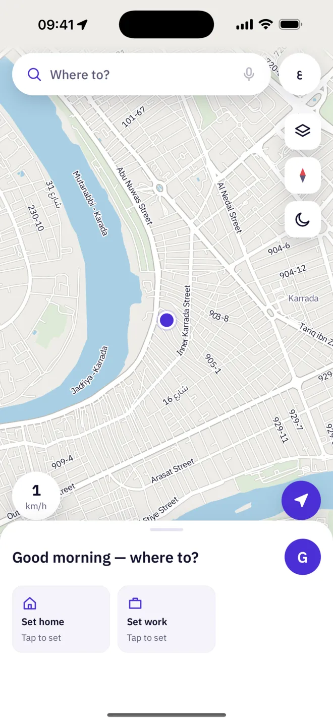
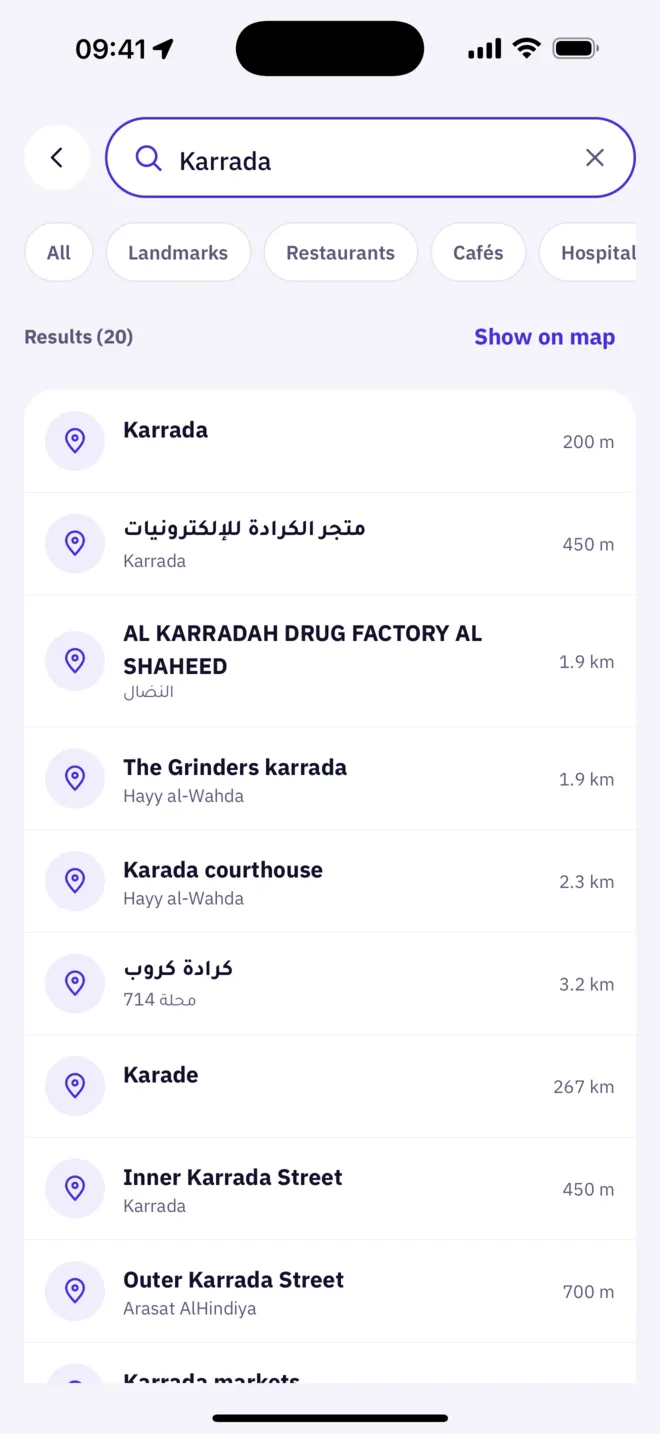
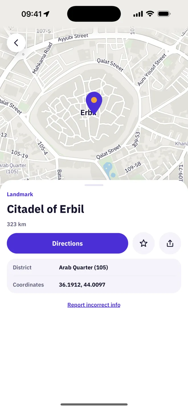
Search landmarks, districts and alleys in Arabic or English, anywhere in Iraq. The map is built from OpenStreetMap and hosted on our own servers.
- In Arabic or English
- Landmarks, districts and alleys
- A map of all of Iraq
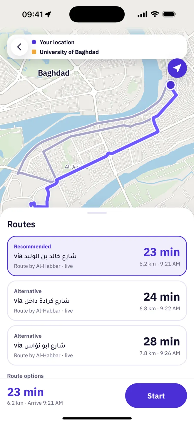
Three routes. Your call.
Up to three routes for every trip, each with its time, distance and arrival, so you choose with the full picture.
Every route shows
Eyes on the road. We’ll do the talking.
Turn-by-turn voice guidance in Arabic and English, with automatic rerouting when you take a different turn.
Your next turn
What to do and how far away it is, readable at a glance.
A voice in your language
Spoken guidance in Arabic or English, with automatic rerouting.
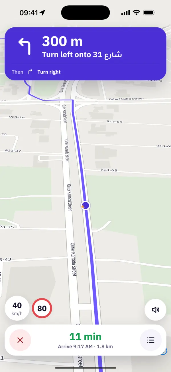
Speed limits
Shown wherever the map knows the limit.
Time left
In large type, with distance and arrival time beside it.
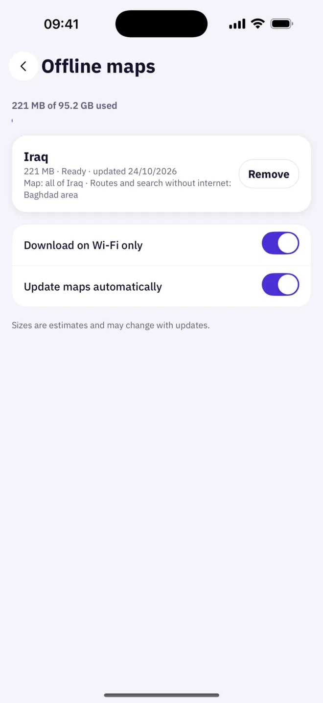
Signal gone? Your map isn’t.
Download the Iraq map once, about 220 MB, and the map works everywhere in Iraq without internet.
Size is approximate and changes with updates.
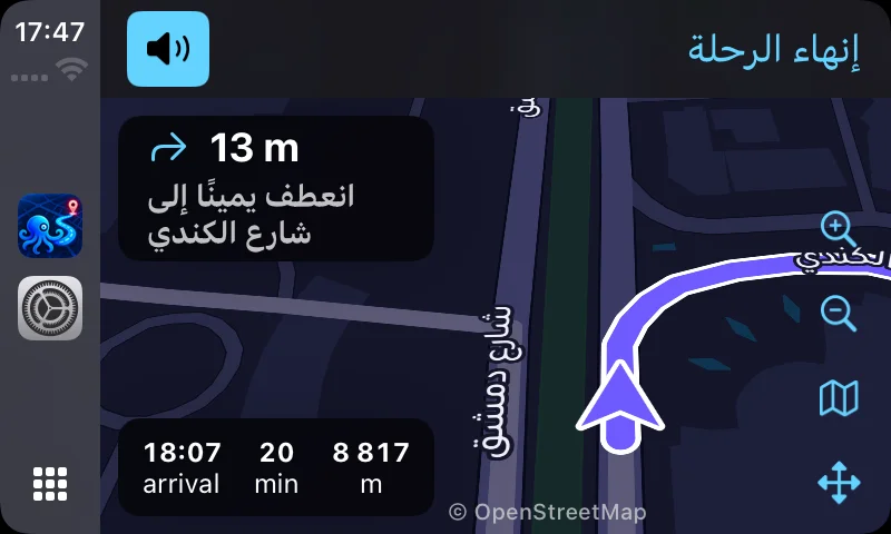
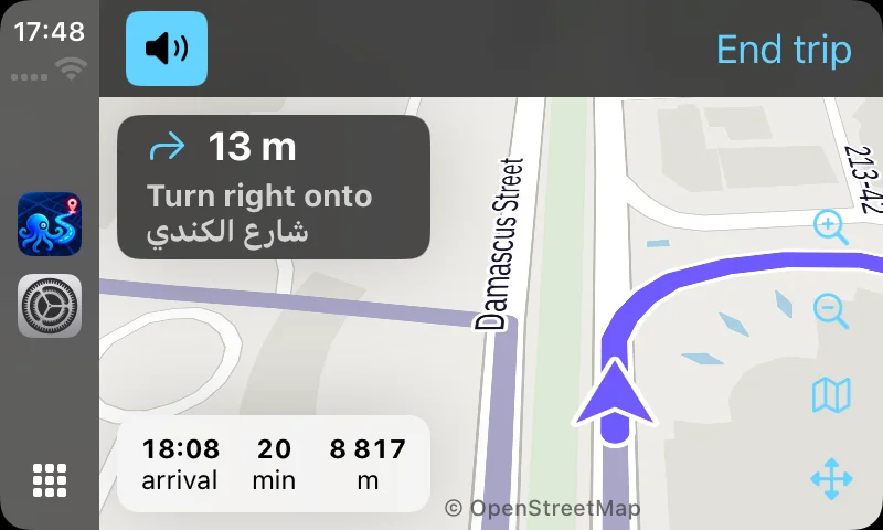
Same route, on your car’s screen.
Map and guidance on the car display, with Home, Work and recent places a tap away.
- Home, Work and recent places
- Pan and zoom the map
- Turn-by-turn guidance
Real CarPlay captures · Damascus Street, Baghdad
Got sent a location?
From any app, tap Share and pick Al-Habbar GPS: the place opens ready to navigate. Works with Google Maps and Apple Maps links, short links included, and coordinates.
No account.No ads.No tracking.
Every feature works from the moment you open the app.
Read the privacy policy
Coming soon to the App Store and Google Play
The moment we launch, download links and QR codes go right here.
Added at launch
Added at launch